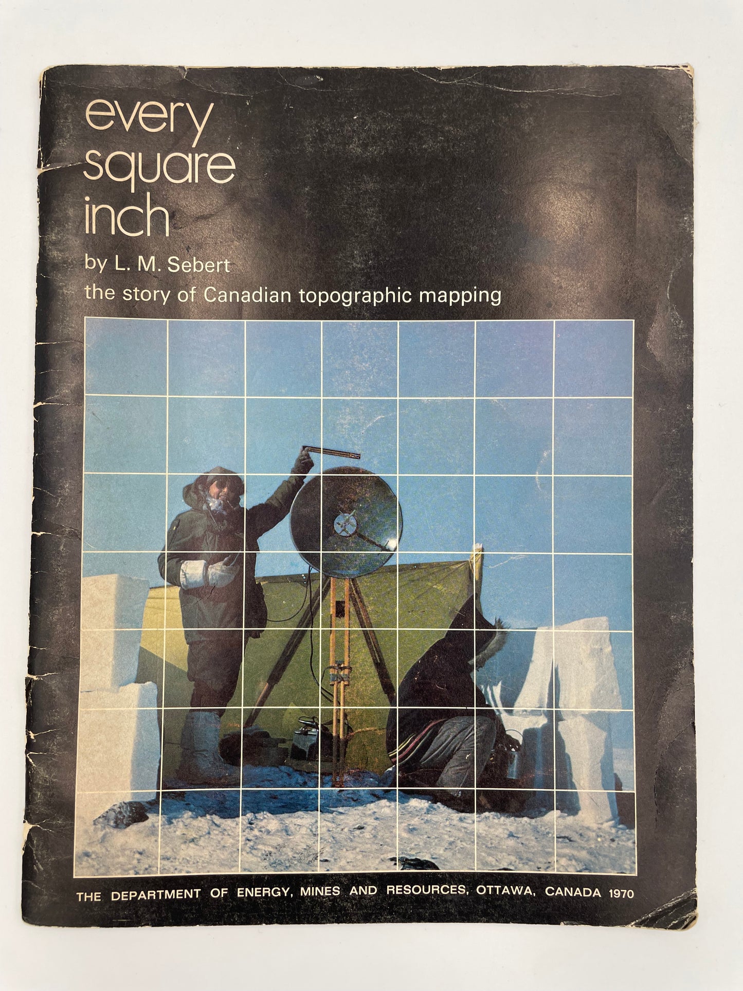
Publisher: Government of Canada (the Department of Energy, Mines and Resources)
Year: 1970
Format: Soft Cover
Condition: Good
Weight: 202g
Dimensions: 22x28x.5cm
Cover is a little worn but integrity of book is good with no markings. All pages and maps are clean.
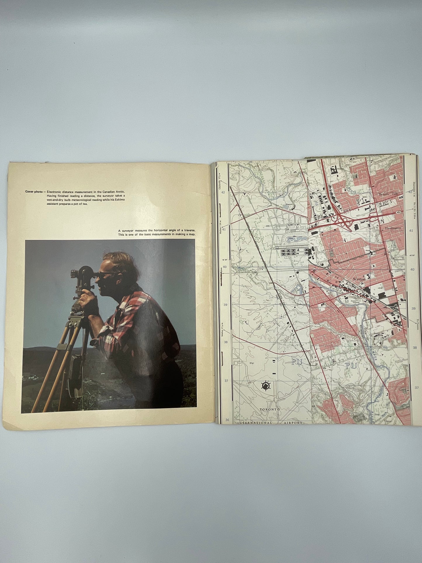
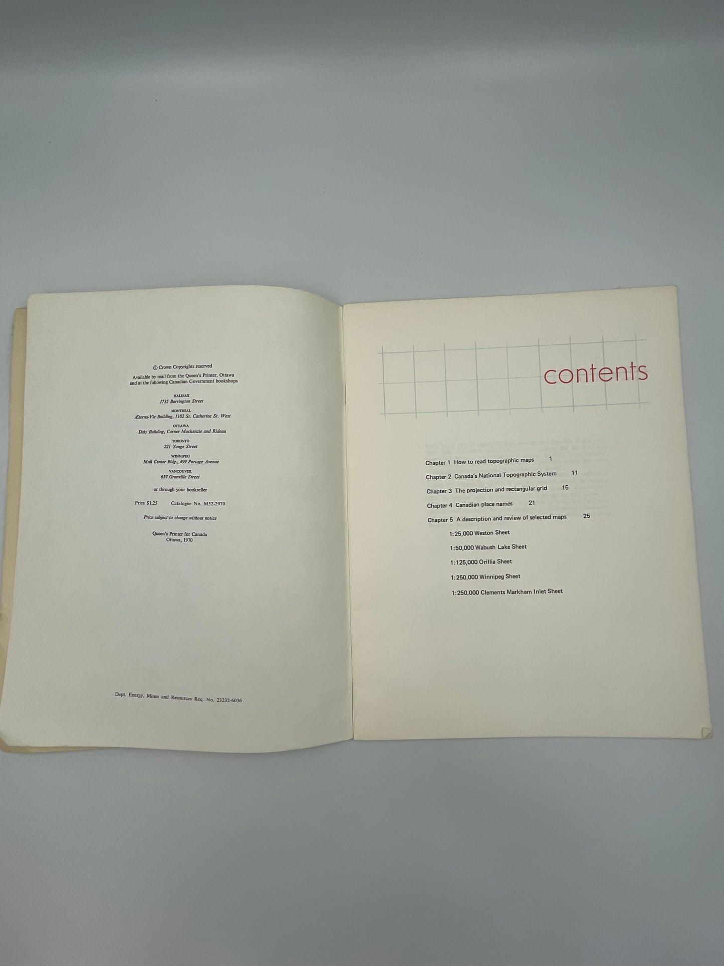
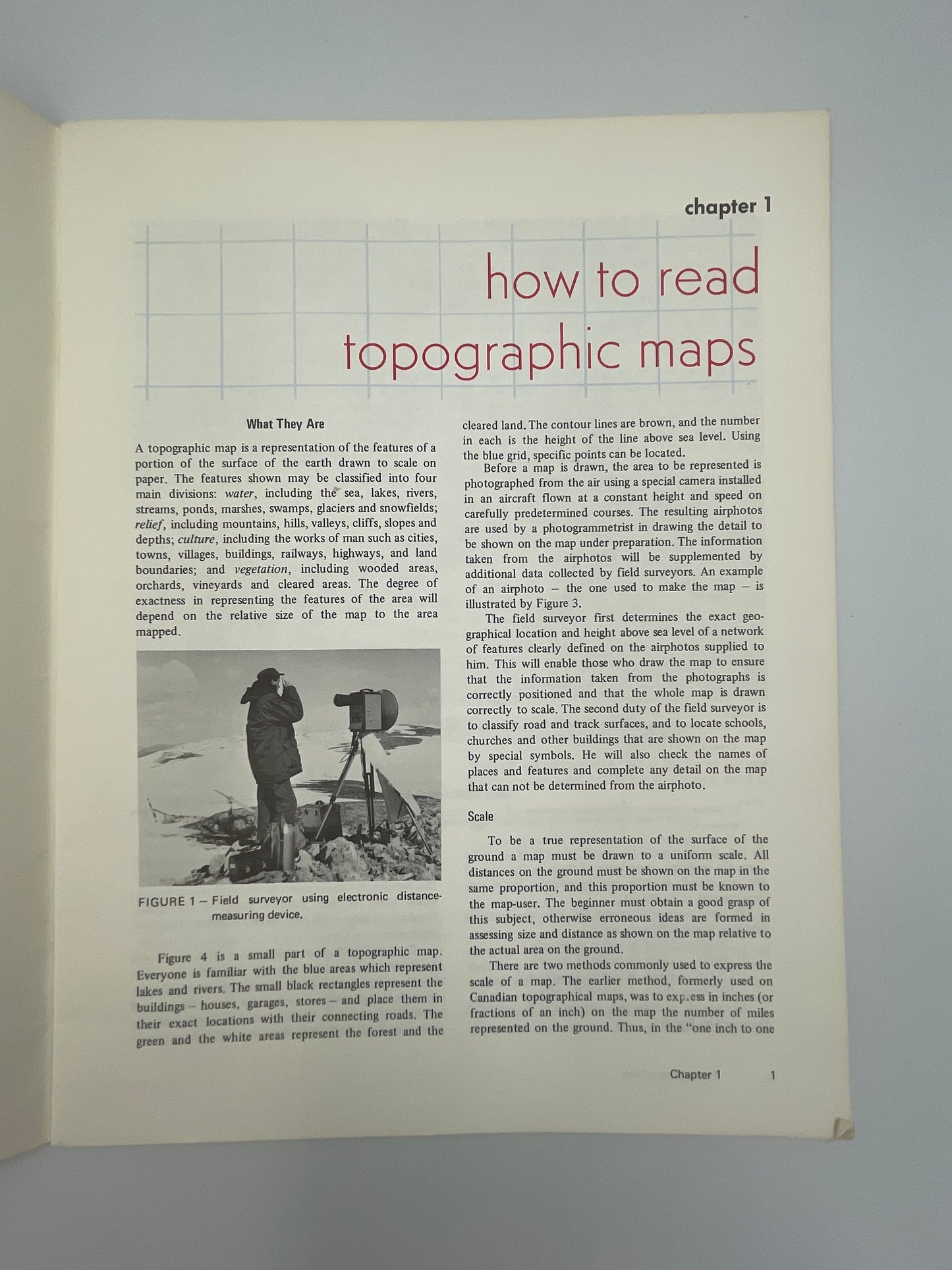
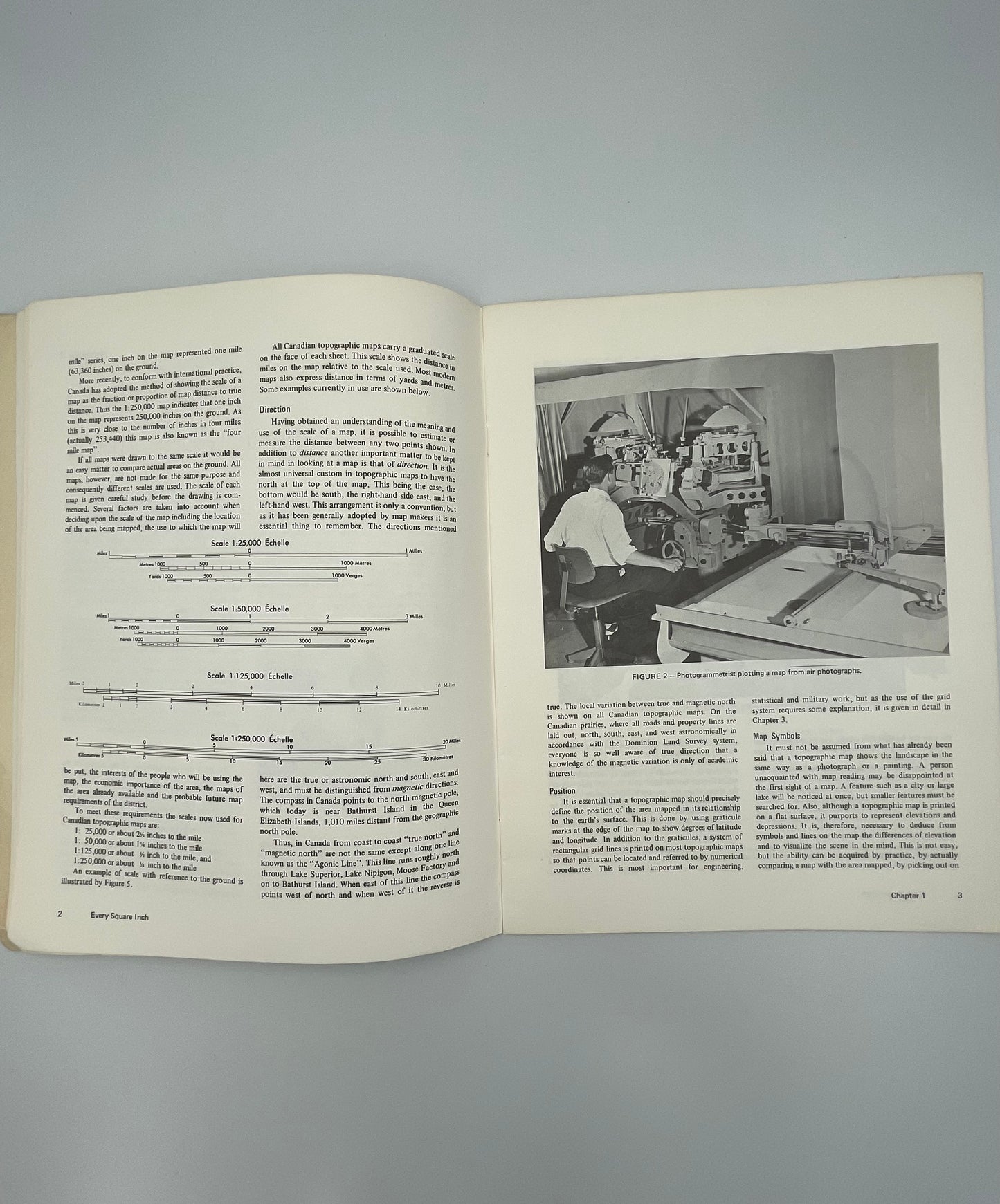
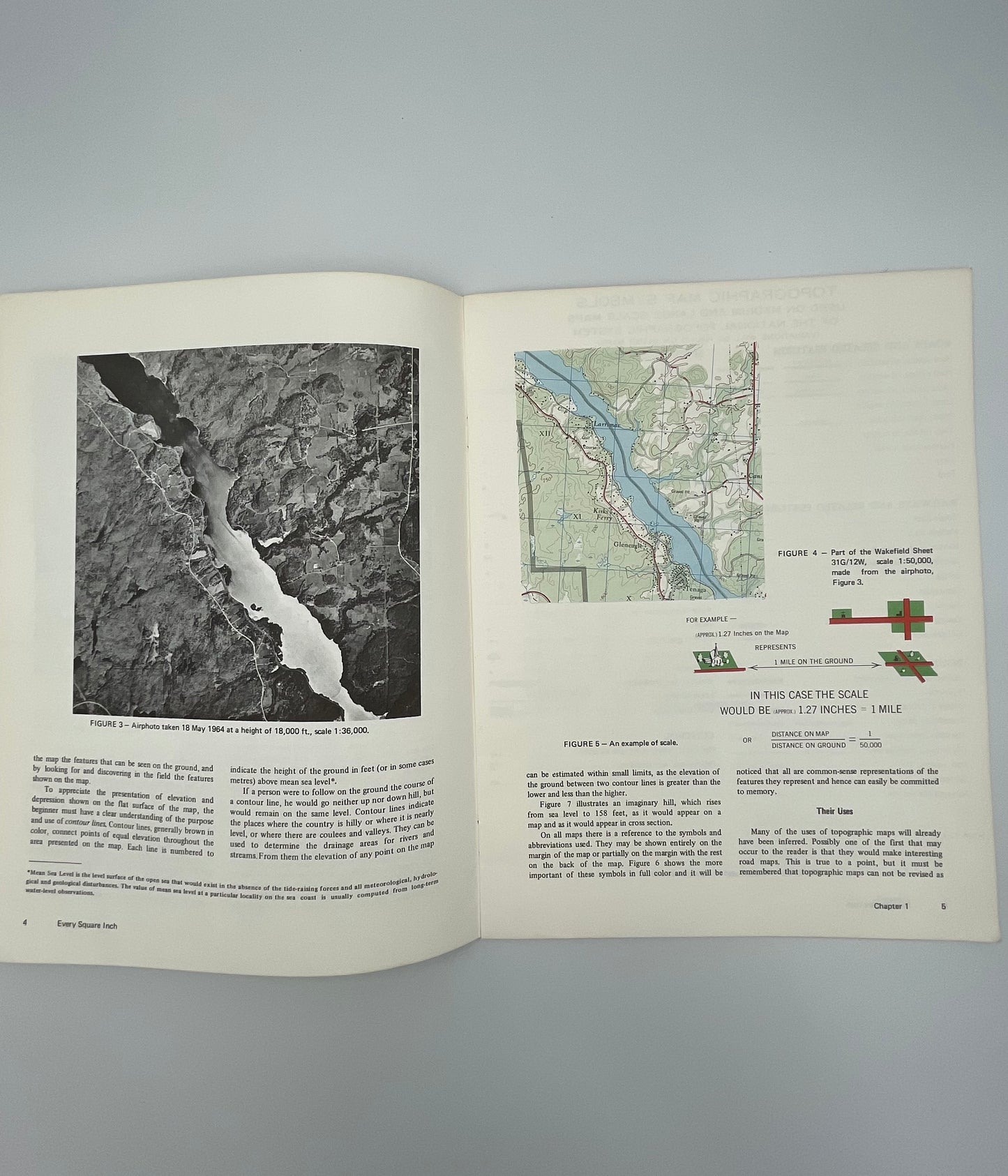
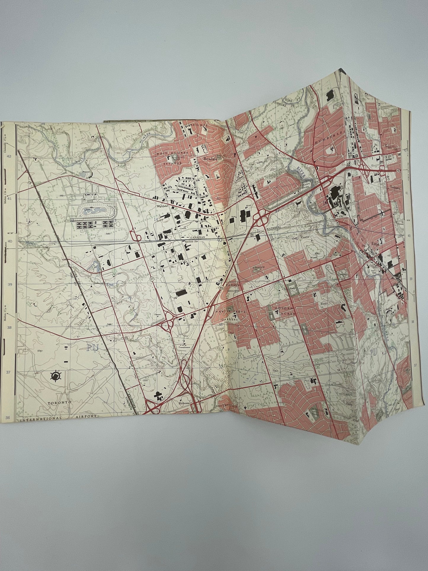
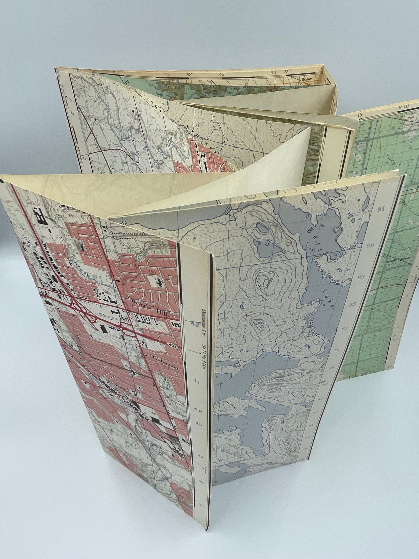
Published by the Government of Canada (the Department of Energy, Mines and Resources) in 1970 well before the invention of GPS, this is an absolute gem and wonderful (and historical) booklet all about Canadian topographic mapping, methods, and explanations. The booklet also includes 4 excellent fold out topograhical maps (see images) that demonstrate different types of maps and terrains with explanations. This work teaches topography in an engaging way with clear explanations.